Canon TM Printers
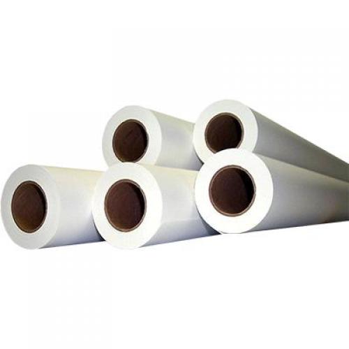
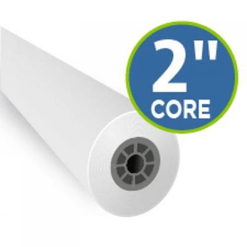
46# Inkjet Bond
Narrow Your Results
Main Category
Sub Category
- List View
- Gallery View
| Page of 2 |


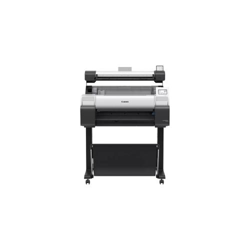
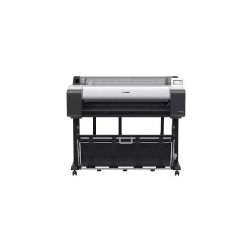
Canon ImagePROGRAPH TM-240 MFP Lm24
Item No. CAN6242C008AA
24" printer, 24" scanner, 5 color pigment "1 YEAR WARRANTY" Call for Promos, Trade-Ins and Special Offers

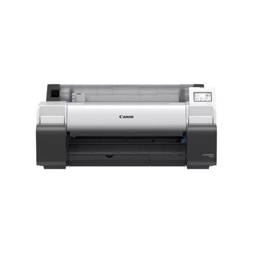
Canon ImagePROGRAPH TM-240 - without stand
Item No. CAN642C002AA
24" printer, 5 color pigment "1 YEAR WARRANTY" Call for Promos, Trade-Ins and Special Offers

Canon imagePROGRAF TM-355
Item No. CAN644C002AA
36" printer, 5 color pigment "1 YEAR WARRANTY" Call for Promos, Trade-Ins and Special Offers

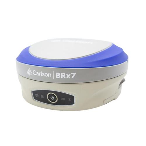
Brx7 Smart Antenna Kit
Item No. CRL8030.020.037
GNSS Rover Only (CRL8030.020.137 Base/Rover package available Click Here to view the product page) The BRx7 GNSS receiver with SurvCE/SurvPC delivers a modern and flexible GNSS RTK product for precision surveys, with an intuitive and familiar application software. The lightweight BRx7 receiver may be used as a Rover, or as a Base to send corrections to RTK UAVs or GNSS Rovers. The BRx7 provides a class-leading 800+ channels, 8gb of memory, tilt compensating ability, and a rugged, compact, IP67-rated housing. Best-in-class RTK performance is provided by the Athena GNSS engine, supporting multi-frequency GPS, GLONASS, BeiDou, Galileo, QZSS, IRNSS, and Atlas L-band capability. The BRx7 has an integrated dual-band UHF transceiver and a Quad-Band GSM modem together with Wi-Fi and Bluetooth. Typical applications include Topographic and Engineering Surveys, Construction, Mapping and GIS.

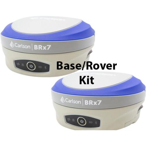
BRX-7 Base & Rover
Item No. CRL8030.020.137
GNSS Base/Rover Receiver Kit (CRL8030.020.037 Antena Kit available Click Here to view the product page) The BRx7 GNSS receiver with SurvCE/SurvPC delivers a modern and flexible GNSS RTK product for precision surveys, with an intuitive and familiar application software. The lightweight BRx7 receiver may be used as a Rover, or as a Base to send corrections to RTK UAVs or GNSS Rovers. The BRx7 provides a class-leading 800+ channels, 8gb of memory, tilt compensating ability, and a rugged, compact, IP67-rated housing. Best-in-class RTK performance is provided by the Athena GNSS engine, supporting multi-frequency GPS, GLONASS, BeiDou, Galileo, QZSS, IRNSS, and Atlas L-band capability. The BRx7 has an integrated dual-band UHF transceiver and a Quad-Band GSM modem together with Wi-Fi and Bluetooth. Typical applications include Topographic and Engineering Surveys, Construction, Mapping and GIS.


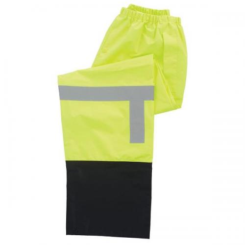
Rain Pants, Class E, size L
Item No. ERBS373PTB-L
Lightweight 100% polyester oxford with PU coating. Pocket slits on side with rain guard. Ankle snaps and fly closure. Class E (for ensemble) when worn without other ANSI/ISEA 107 compliant garments. Class 3 when worn with a Class 2 or Class 3 upper garment.


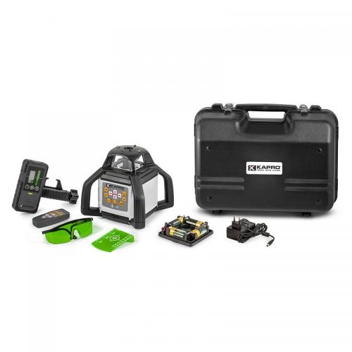
Kapro Self-leveling Green Beam Rotary Laser with 2 Plane Manual Slope
Item No. KAP8991G
KIT Includes Laser Unit Laser Detector BeamFinder Glasses Laser Target Remote Control Rechargeable NiMH Battery Pack w/Alkaline Battery Back Up Shockproof Hard Case FEATURES IP-65 protection from dust and moisture Horizontal or vertical 360° rotating beam Plumb Down/Plumb Up point Electronic self-leveling range ±5° Five variable speeds (0, 60,120, 300, 600 rpm) Six scan modes (0°, 10°,45°, 90°,180°, 360°) Laser range up to 300m (980 ft) with laser detector Accuracy ± 0.1mm/m (0.0001&Prime/&rdquo) Manual mode for marking slopes of up to ±5° in both X and Y planes Protective Rubber over molded casing 2 Tripod threads 5/8&Prime for vertical and horizontal use Field of Applications Laying inclined concrete surfaces Ensuring run-off pathways Laying water and sewage lines Laying concrete Wall, fence and deck construction


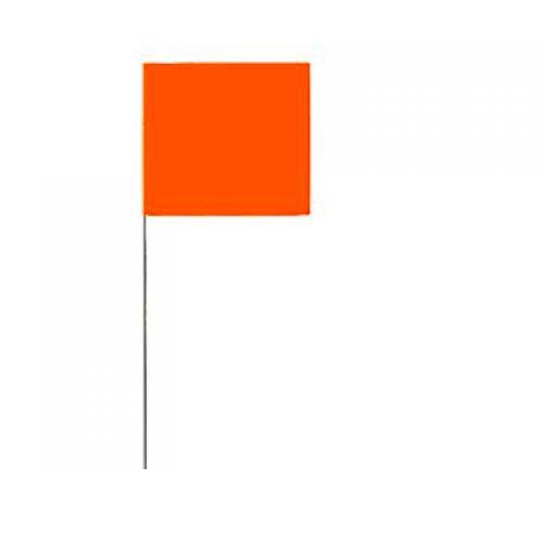


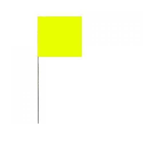


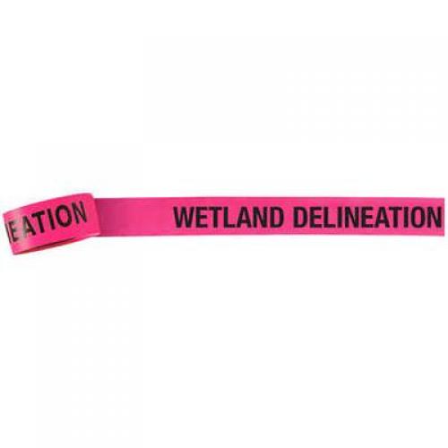
Pink Glo Presco Vinyl Flagging, “WETLAND DELINEATION”
Item No. PEC57968
Must order in increments of 12